Showing posts with label waterfalls. Show all posts

Sunday, April 17, 2016

Weekend in Spokane, WA

When we found out Craig would be visiting a job site in Spokane and that my company has an office nearby, we loaded up the bikes and made a weekend out it! As a first-timer in Spokane, I didn't have many expectations, but with a motto of, 'Near Nature, Near Perfect,' how could I not get excited?!

We were, admittedly, off to a rough start when we made the 4.5 hour commute out east riding in a F350 diesel work truck. As a tip, those trucks are not meant for highway travel! I imagine it having a similar bounciness as trotting on a horse.

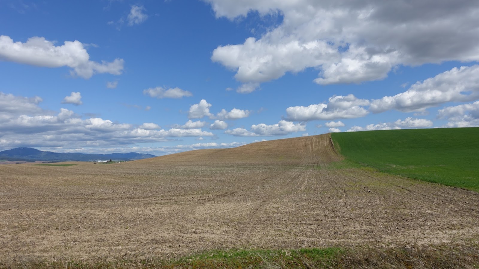
The city of Spokane was very industrial, but had a vibe of revitalization with new breweries and small businesses popping up regularly. We both really enjoyed the size of the city and its proximity to outdoor recreation, Idaho, and the Palouse. The Palouse is a hilly, agricultural area that owes its fertile soil to wind-blown organic sediment that blew east for thousands of years. It creates a unique landscape perfect for a challenging cycling experience!

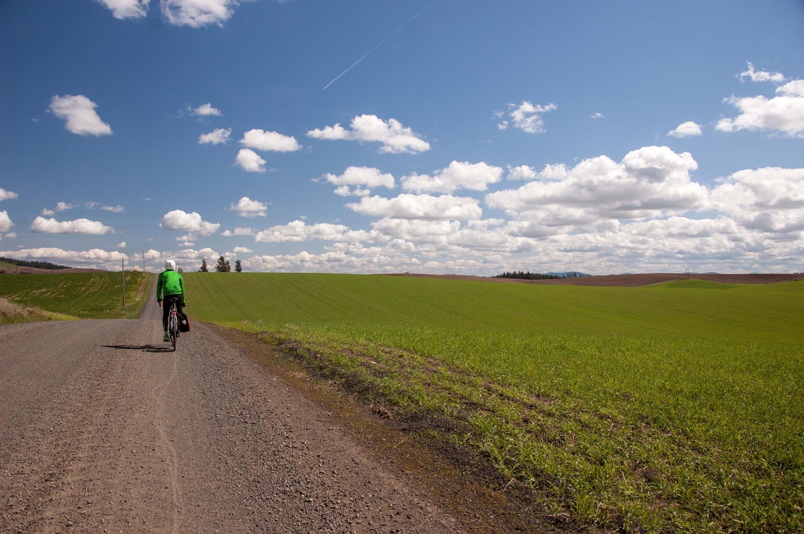
Craig riding on a gravel road the Palouse 

Same 'ol scenery as far as the eyes can see.

Glacial loess turned to agriculture land

Plowed

One of the few buildings along the ride.

Roadside yellow flowers.

The castle we stayed in

Did I mention that there was a massive river (the Spokane River) flowing through the middle of the city??! At times it is a slow trickle, but we were in luck! With fresh snow melt, the dams had recently opened the floodgates and to say that it was an impressive flow was an understatement! 

The river was running!

So much river!

On the drive home, we made a quick stop at the Columbia River. The Spokane flows into this river where it eventually discharges into the Pacific Ocean.

Sunday, March 20, 2016

Chasing sunshine in Wenatchee, WA

Seeking a break from the long winters of the Pacific Northwest, Craig and I spent a weekend in Wenatchee, WA. Once east the Cascade mountain range, the weather changes dramatically from a soggy lush forest capped by low, gray skies to a high desert environment with almost certain sunshine.

One of the highlights of the trip was a hike along the Ancient Lakes trail--a hike that takes you along steep basalt cliffs, up close to waterfalls, and encircles a tiered chain of pothole lakes left behind receding glaciers.

Views from the start of the trail.

Columnar basalt

Basalt and waterfalls

 Scrambling to get to the next tier of waterfalls

Waterfall, Craig, and chain of pothole lake

More waterfalls in the desert

Looks more like Utah than Washington

Craig looking out

Marmot!

Craig and me

Even without the hike, the town of Wenatchee was an attraction in itself.  A quaint downtown with an old west feel, the city has done a great job of maintaining the original building structures while re-purposing them with cute boutiques and restaurants. Little known fact, they are known as the apple capital of the world and are one of the largest producers of apples. Although Wenatchee was not previously on my radar, I'm looking forward to returning this fall to check out their apple-harvesting festivities. 

 Wenatchee's pubic market-- probably most-likened to a smaller version of Seattle's Pike Place Market.

Some of the shops inside of Wenatchee's Public Market


Love me some good Mexican food and Wenatchee had a lot of it!

A bridge across the Columbia in Wenatchee

Pedestrian bridge across the Columbia River

Swimming duck

Sunday, April 5, 2015

Ashland Lakes & Twin Falls

Originally, Chris and I set out to hike on the Lake Twenty-two trail, with the final destination being a gorgeous oasis nestled into the shoulder of Mt. Pilchuck. When we arrived at the trailhead parking lot, it was apparent our peaceful picturesque idea of quiet forests teeming with old-growths and mountain views was quickly dejected--there were hoards of humans everywhere! The parking lot was so full, we had to circle around several times before eventually finding space to park along the road. Packs of people were getting out of their vehicles, the festival traveler types of the PNW were hula-hooping in the parking lot, and kids were running around everywhere. It was a circus.

Now, I should also say that this parking lot scene does make me glad that the people of Seattle love getting out and enjoying the great outdoors. I realize that it's only through such human interactions with nature that appreciation, and thereby preservation, is gained. I'm a social person who gets totally energized by being around large groups of people. However, to have balance, I need the solitude of nature, trading in the urban noise for sounds of birds, wind, and sometimes just a simple silence.

We debated about sticking it out and doing the crowded hike anyway, but ultimately decided to try another, more remote trail. Without cell phone reception and in a bit of a crunch for time, we picked our next trail by simply looking at a map and choosing a squiggly line to follow. The winner: Ashland Lakes.

Chris at Ashland Lake

The parking lot at Ashland Lakes was much more of what I like to see when I arrive at a trailhead--about 3 cars. Much of the trail meandered through a large network of wetland areas and we walked on a raised boardwalk for the first half of the hike. The boards were wet with pockets of snow, leaving the wood incredibly slippery and we spent a lot time looking down with care for steady foot placement; I still managed to fall.

One of the fellow hikers asked if we were on our way to Twin Falls, which we had no idea about. They tried to explain how to get there and eventually just told us to follow the blue ribbons. Finding these trail markers proved more difficult than it sounded and we ended up back tracking portions of the trail after realizing we must have gone too far.

We did finally find some blue tape tied high on some small tree branches and were on our way! What follows are a string of photos from the trail and Chris's back. I swear he has a face! 

walking on the boardwalk 

Success! We find the blue trail markers!

The trail was filled with webs of tree roots.

After we found the blue ribbons, the trail quickly transformed from raised boardwalks along a flat wetland, to an undulating trail thick with old-growth trees. Massive webs of roots (both from trees present and past) crawled over the hillsides. The long, thick roots reached out their moss-covered fingers to firmly grasp large boulders along the trail. Every where we looked, a complex cast of  green shades saturated the trees, their bark, the rocks, and the ground.

We made a final ascent to a fantastic, isolated waterfall cascading down a cliff face into a small lake! The water, although clear of sediments, was brownish red with tannins. It seemed like a great place to come back to in the heat of the summer for a mid-hike swim. 

We find a waterfall!

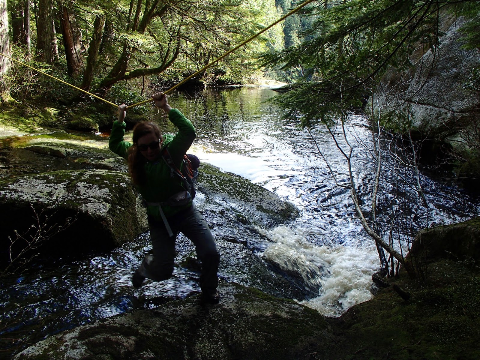
The person we met earlier had called this area Twin Falls so shortly after finding the first waterfall, we set out to found its counterpart. Following the stream down, we found a rope crossing a creek that was truncated by nothingness. We figured this must be the top of the second waterfall and the rope was leading to its access.


Crossing the top of the second waterfall. (Photo courtesy of Chris)

The forest was very brushy and dense on the opposite side of the creek and we struggled to find a good viewpoint of the second fall.We found a nice rock outcrop that allowed for sweeping views of vast hillsides of spruce and cedars. The waterfall could be loudly heard from here, but still not seen. Determined to find it, Chris and I carefully navigated around the thicket and literally used our bodies as bulldozers, pushing through areas we couldn't circumvent. 

With a little persistence, we found the waterfall...or at least the top half of the it. The bushes soon opened up to a smooth rock platform with two streams of water gushing down its face. The water didn't even have time to pool before disappearing down a vertical cliff that lead to the creek 100+ feet below. Terrified of heights, I was very nervous being out of the rock that was obviously cleared of vegetation and smoothed by large floods. Although the platform was perfectly safe, for some reason I irrationally convince myself that I'm going to randomly fall down and fling myself over the ledge whenever I get around exposed areas.

Chris looking for the waterfall from the rock outcrop.

Chris on the platform at the top of the second waterfall.

Me looking over trying to see the bottom of the second waterfall. (Photo courtesy of Chris)

Chris at the top of the second waterfall. This picture still makes me nervous to look at. So exposed!

We relaxed here, hypnotized by the loud roar of the waterfall for a while and then started making our way out of the woods. Since finding the blue ribbons, we didn't see a single other person on the trail! Although we didn't choose this path for any reason other than its remoteness, I was highly impressed with the temperate rainforest and waterfalls it kept tucked away.

Afternoon light on Ashland Lake


Tuesday, March 31, 2015

The day we had the North Cascades Highway to ourselves

The plan to ride the North Cascades Highway (WA State Route-20) car-free was in the works weeks ahead of wheels to the pavement time. The highway is typically closed to traffic from November to May/June due to snow in the high mountain passes. About a week before it opens to motorized traffic, they complete snow clearing, which paves the way for a cyclist's dream--a quiet, vehicle-free, smooth path through some of Washington's most dramatic landscapes. Checking WSDOT's website for weekly updates, I started monitoring in March for when the snow clearing would be complete. Because this year was an unseasonably light snow year, the highway was scheduled to open as early as the first weekend of April. Determined to take advantage of this car-free opportunity, we headed north the last weekend of March, despite a bleak weather forecast of intermittent rain.

The rain started about halfway through our 2.5 hour drive to the start of the road closure. I was hopeful the clouds would "get it out of their system" and the skies would be clear and sunny by the time we arrived; however, I was wrong. In fact, it could be argued that it rained even harder right as we parked and started getting our gear together. I think both of us were hesitant to ask what the other one wanted to do because even after making the long trek up to the starting point, it was hard to convince ourselves that it was going to be the joyous ride we'd imagined given the state of the weather. With that, we didn't say much and just put on an extra layer of rain coats, rain pants (Craig forgot his), and shoe covers and hoped for the best.

For those interested in the ride details and logistics (how far, how fast, how high), check them out here.

 
Rain gear is so fashionable.

Lucky for us, the temperature stayed quite warm throughout the day; I actually felt cozy tucked away from the elements in my rain gear. Although it sprinkled off and on throughout the entire day, within the first 30 minutes of climbing, the steady rainfall significantly subsided.

View down into a gorge flowing into the Skagit River

The North Cascades is a place so beautiful that it leaves you dumbfounded and unable to find any other words to describe the landscape other than "big" and "green." The highway parallels Granite Creek for most the route on the west side of the mountain range filling our ears with the constant sound of rushing water as we made our ascent. Waterfalls cascaded down the basalt cliffs lining the road. Some of the falls could be traced zigzagging up the mountain face all the way to the crest. Low clouds rolled past throughout the afternoon, but they would often part giving short glimpses to the jagged crown of peaks surrounding us.

Craig approaching one of the many waterfalls along the route.

One of several barriers

Switching layers was a common practice

Me basking in the few minutes of sunshine we had!

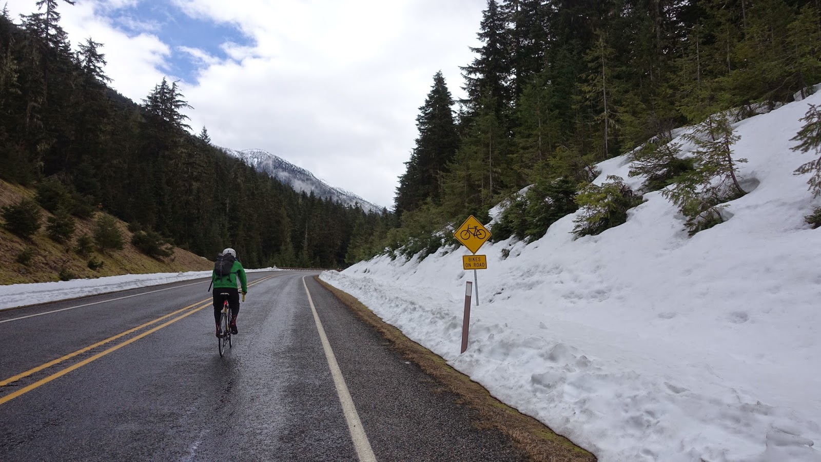
Bikes on the road

We finally find deep snow!

Craig finds that road bike tires are not ideal for biking across snow and ice.

We reach Rainy Pass (~4855 ft)!

We finally reached the end of the line at Rainy Pass at 25 miles in. Here the road crews stopped plowing leaving a ~4.5 foot wall of snow blocking the way. We hung out here for  little while, finished out lunches, and then quickly saddled up for the ride down due another round of impending rain clouds hanging overhead. 

Initially, we were excited by the idea of bombing down the pass that we had worked to ascend. However, we quickly realized that the slope just wasn't great enough to allow us to gain much speed at all. In fact, with the headwind blowing up the mountainside, we often had to pedal even going downhill.

Rainy Pass was the end of the line. There was no way we were getting through this snow pack.


A look at what we would have endured had we pushed forward on the road.


The bikes posing.

Making our way back down.

Making our way back down.

I'm hopeful to make this ride a yearly tradition now that I know how freaking awesome it is and know more about the logistics. I am also giddy at the idea of coming back out to ride the pass in its entirety later this summer when the sky is clear, giving the all access show of the "American Alps," most of which was shrouded by clouds during this visit.

Profile of the ride