I love long weekends. However, I am guilty of getting a little manic when one of the rare 3-day weekends we get as working stiffs comes around. I tend to pack in as much adventure as physically possible knowing that it will be months before I'll see another long weekend again. This year's Independence Day weekend was no different. Although Craig and I were exhausted from constant movement from one plan to the next for what seems like most of 2015, we were eager to get in some biking outside of Seattle and escape the daunting heat wave.
After considering a few cycling routes we've been wanting to do in Washington and British Columbia, we decided on the Olympic Discovery Trail (ODT) -- a cyclists dream with a soon-to-be continuous bike path providing a quiet, scenic tour across prairies, rivers, and forests to the ocean.
Although the trail goes ~132 miles (one way) from Port Townsend to La Push, we reasoned that if we started in Port Angeles (~40 miles west), we would reduce the amount of miles and allow ourselves a more enjoyable, leisurely pace with the ability to check out a few side trips along the way.
The plan for our now-reduced 154 mile (round trip) bike route involved two nights of camping, which became the next challenge. The Fourth of July weekend is one of the busiest times to get a campsite in Washington and there were no sites available. Rather than let this hold us back, we decided to play it by ear and improvise as necessary.
Below is an interactive profile map for our route:
We started the weekend off in Port Angeles, grabbing a quick breakfast at the Blackbird Cafe before pushing off on the ODT. After getting turned around by a few confusing ODT signs in Port Angeles, we finally figured out how to get out of the city and were on our way west!
Starting out. Here we are just east of Port Angeles.
Finally off the main roads and onto the trail.
Taking the trail bridge over the Elwah River.
The section of the ODT we rode is a bit disingenuously called a "trail" and perhaps more of a route. A lot of the ride is actually on busy highways, including a large stretch on the shoulder of Highway 101. There was even a section near Crescent Lake that went on a narrow hiking/mountain biking trail. With loaded down touring bikes, this section, although only four miles, really slowed us down because we had to frequently get off and push the bikes around large roots and boulders. Thirty miles in on a +90 degree day, morale started to deteriorate.
To combat the heat and fatigue, we ditched the bikes for a swim in the lake. Craig chose to enter the water by launching himself from a 30-foot cliff; I decided to slowly mosey in one toe at a time. Although this helped refresh us, I'm not sure we ever fully regained the initial energy for the remainder of the ride.
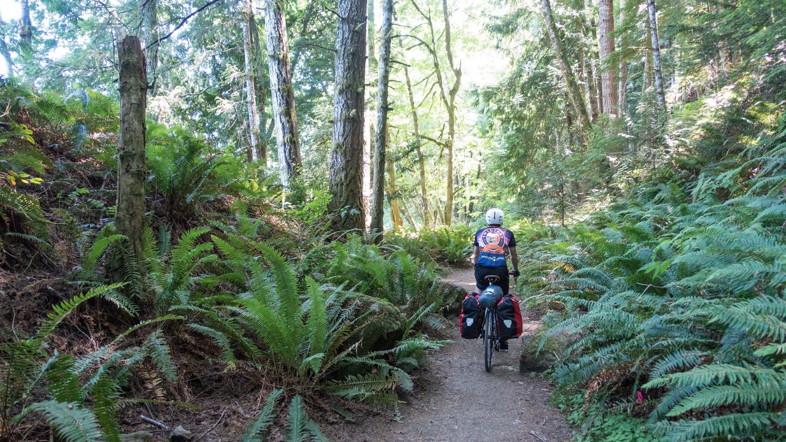
Biking through the forest on the north side of Crescent Lake
Pushing a loaded touring bike on a rutted mountain bike trail.
30 miles into the ~154 mile ride, Craig decides it's time to jump off a cliff.
I go for a dip in a quieter section of the lake.
Back in the saddle.
By the time we reached Highway 101, we were at the hottest part of the day, peddling next to a stream of cars and into a headwind. We took advantage of nearly every stream and river we passed to re-fill our water bottles using a water filtration pump. We also couldn't help but relieve ourselves from the heat and unforgiving sun by immersing ourselves in the water....it was seriously a hot weekend!
Craig takes a tip in the Sol Duc River under Highway 101.
As the sun finally started towards the horizon, we realized that we needed to figure out where we were going to sleep. Because we were about as dehydrated as our freeze-dried camping dinners, we needed it to be near water. Although all the campgrounds were full, we managed to stealth camp at a peaceful spot by the river and were in bed by 9:30pm...probably the earliest I've been asleep in recent memory. We were 11 miles shy of our goal to make it to La Push, but would make up for the lost miles the following day.
Scoping out camp site near the foxglove.
Success!
Packing up and heading out for day two.
I can't lie, day 2 started off rough. It got hot very early and we still needed to bike 11 miles to make it to the coast before turning around and making the trek back east. Thankfully, catching our first glimpse of the coast made it all worth it. The air was so much cooler once we made it over the last crest to the west. Although we didn't have much time at the coast, it was enough for a break from the heat and a much-needed (enormous) meal from a local restaurant with an ocean view.
Admittedly, I wanted to quit at this point. We had seen the entire route, made it to our goal of the ocean and now I was just tired and dehydrated and wanted to sleep. We looked for a bus ticket back to Port Angeles, but the buses weren't operating on the holiday. Guess we were finishing this ride, whether our legs wanted to or not!
First view of the ocean!
Taking in some cool ocean air and giving the steeds a rest.
Quillayute River mouth.
We made it to LaPush!
Saying a final goodbye to the ocean before heading back to the heat of the east.
On the trek back east, we passed through a town about a mile from Forks, WA, where the famous vampire teen novel/movie trilogy Twilight was set. Apparently, the book/movie's success has put the town on the map and it now attracts thousands of fanatic teenage girls every year. Coincidentally, Craig also had his Deschutes Twilight Summer Ale jersey on, causing him to get many compliments as we rode through the area.
A fan of a slightly different type of Twilight...
This sign is posted as you enter Mora near the Native American reservation area. I guess this means that we're in werewolf territory now!
Another cheesy Twilight sign. Sparkly vampires would have had a hard time concealing themselves in the relentless sun this weekend.
The rest of the trip back to Port Angeles was the definition of a slog. We slowly hauled our way along at 9-13mph, on terrain that somehow felt like uphill in both directions! Although we now had a tailwind, this meant that we didn't even have much of a breeze to dampen the afternoon heat.
Originally, we had planned to camp another night along the route, but it became tempting to just push through to get back to Port Angeles in one day. The temptation became even stronger when we realized that we could take a shorter, more dangerous route around the south side of Lake Crescent on Highway 101. We were warned that the shoulder becomes non-existent for this stretch, but we timed it so that most of the lake traffic would be in a lull while weekenders were eating dinner, getting ready for fireworks, etc. Good timing combined with not having to share the road with logging trucks because of the holiday weekend made this section much more pleasant than we expected. It also had a lot of downhill, which was a welcome change from the consistent, slow, low-grade incline we experienced for most of the day.
We stopped in the town of Beaver for snacks and water re-fill.
We finally find another section of the ODT, just west of Crescent Lake.
We turned on the flasher, signifying bikes were on this narrow stretch of Hwy 101.
A look at Crescent Lake from the South side.
As dusk started to settle in, we were only a few miles outside of Port Angeles. The thought of potential drunk drivers heading to the fireworks in the city combined with a rapid loss of light was starting to make me a little terrified and I was very anxious to get off the road. As we neared the city, we could hear the sporadic booms of private, backyard firework displays, which was an encouraging reminder of how close we were to the end of our ride (and more importantly dinner!).
We rolled into Port Angeles within minutes of the start of the city's fireworks. After finding an unoccupied bench among the crowd, we settled in to cook dinner on our camping stove while watching the fireworks. It almost felt like they were in celebration of completion of our sun-beaten, sweaty, and fun weekend adventure.
Waiting for water to boil.