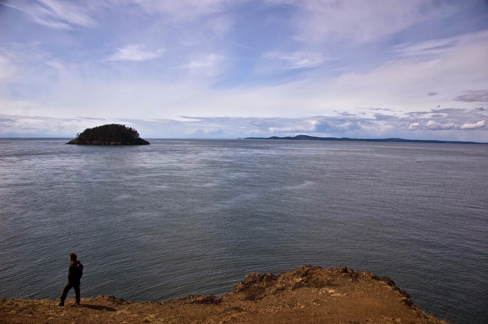
Originally, Chris and I set out to hike on the Lake Twenty-two trail, with the final destination being a gorgeous oasis nestled into the shoulder of Mt. Pilchuck. When we arrived at the trailhead parking lot, it was apparent our peaceful picturesque idea of quiet forests teeming with old-growths and mountain views was quickly dejected--there were hoards of humans everywhere! The parking lot was so full, we had to circle around several times before eventually finding space to park along the road. Packs of people were getting out of their vehicles, the festival traveler types of the PNW were hula-hooping in the parking lot, and kids were running around everywhere. It was a circus.
Now, I should also say that this parking lot scene does make me glad that the people of Seattle love getting out and enjoying the great outdoors. I realize that it's only through such human interactions with nature that appreciation, and thereby preservation, is gained. I'm a social person who gets totally energized by being around large groups of people. However, to have balance, I need the solitude of nature, trading in the urban noise for sounds of birds, wind, and sometimes just a simple silence.
We debated about sticking it out and doing the crowded hike anyway, but ultimately decided to try another, more remote trail. Without cell phone reception and in a bit of a crunch for time, we picked our next trail by simply looking at a map and choosing a squiggly line to follow. The winner: Ashland Lakes.
Chris at Ashland Lake
The parking lot at Ashland Lakes was much more of what I like to see when I arrive at a trailhead--about 3 cars. Much of the trail meandered through a large network of wetland areas and we walked on a raised boardwalk for the first half of the hike. The boards were wet with pockets of snow, leaving the wood incredibly slippery and we spent a lot time looking down with care for steady foot placement; I still managed to fall.
One of the fellow hikers asked if we were on our way to Twin Falls, which we had no idea about. They tried to explain how to get there and eventually just told us to follow the blue ribbons. Finding these trail markers proved more difficult than it sounded and we ended up back tracking portions of the trail after realizing we must have gone too far.
We did finally find some blue tape tied high on some small tree branches and were on our way! What follows are a string of photos from the trail and Chris's back. I swear he has a face!
walking on the boardwalk
Success! We find the blue trail markers!
The trail was filled with webs of tree roots.
After we found the blue ribbons, the trail quickly transformed from raised boardwalks along a flat wetland, to an undulating trail thick with old-growth trees. Massive webs of roots (both from trees present and past) crawled over the hillsides. The long, thick roots reached out their moss-covered fingers to firmly grasp large boulders along the trail. Every where we looked, a complex cast of green shades saturated the trees, their bark, the rocks, and the ground.
We made a final ascent to a fantastic, isolated waterfall cascading down a cliff face into a small lake! The water, although clear of sediments, was brownish red with tannins. It seemed like a great place to come back to in the heat of the summer for a mid-hike swim.
We find a waterfall!
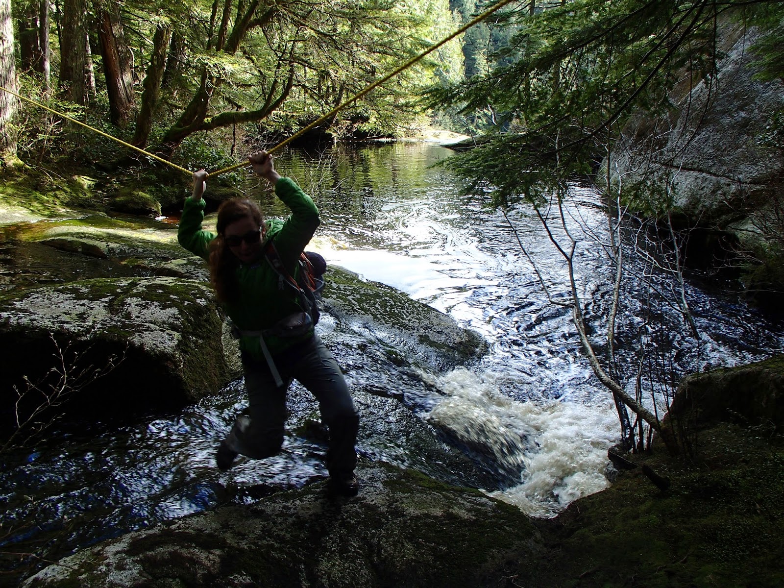
The person we met earlier had called this area Twin Falls so shortly after finding the first waterfall, we set out to found its counterpart. Following the stream down, we found a rope crossing a creek that was truncated by nothingness. We figured this must be the top of the second waterfall and the rope was leading to its access.

Crossing the top of the second waterfall. (Photo courtesy of Chris)
The forest was very brushy and dense on the opposite side of the creek and we struggled to find a good viewpoint of the second fall.We found a nice rock outcrop that allowed for sweeping views of vast hillsides of spruce and cedars. The waterfall could be loudly heard from here, but still not seen. Determined to find it, Chris and I carefully navigated around the thicket and literally used our bodies as bulldozers, pushing through areas we couldn't circumvent.
With a little persistence, we found the waterfall...or at least the top half of the it. The bushes soon opened up to a smooth rock platform with two streams of water gushing down its face. The water didn't even have time to pool before disappearing down a vertical cliff that lead to the creek 100+ feet below. Terrified of heights, I was very nervous being out of the rock that was obviously cleared of vegetation and smoothed by large floods. Although the platform was perfectly safe, for some reason I irrationally convince myself that I'm going to randomly fall down and fling myself over the ledge whenever I get around exposed areas.
Chris looking for the waterfall from the rock outcrop.
Chris on the platform at the top of the second waterfall.
Me looking over trying to see the bottom of the second waterfall. (Photo courtesy of Chris)
Chris at the top of the second waterfall. This picture still makes me nervous to look at. So exposed!
We relaxed here, hypnotized by the loud roar of the waterfall for a while and then started making our way out of the woods. Since finding the blue ribbons, we didn't see a single other person on the trail! Although we didn't choose this path for any reason other than its remoteness, I was highly impressed with the temperate rainforest and waterfalls it kept tucked away.
Afternoon light on Ashland Lake
 Entering the blast zone


 Profile of the ride.